
Latin Translation
Stratus = “flattened” or “spread out”
Height
Ground level to 2,000ft (~ 600 metres).
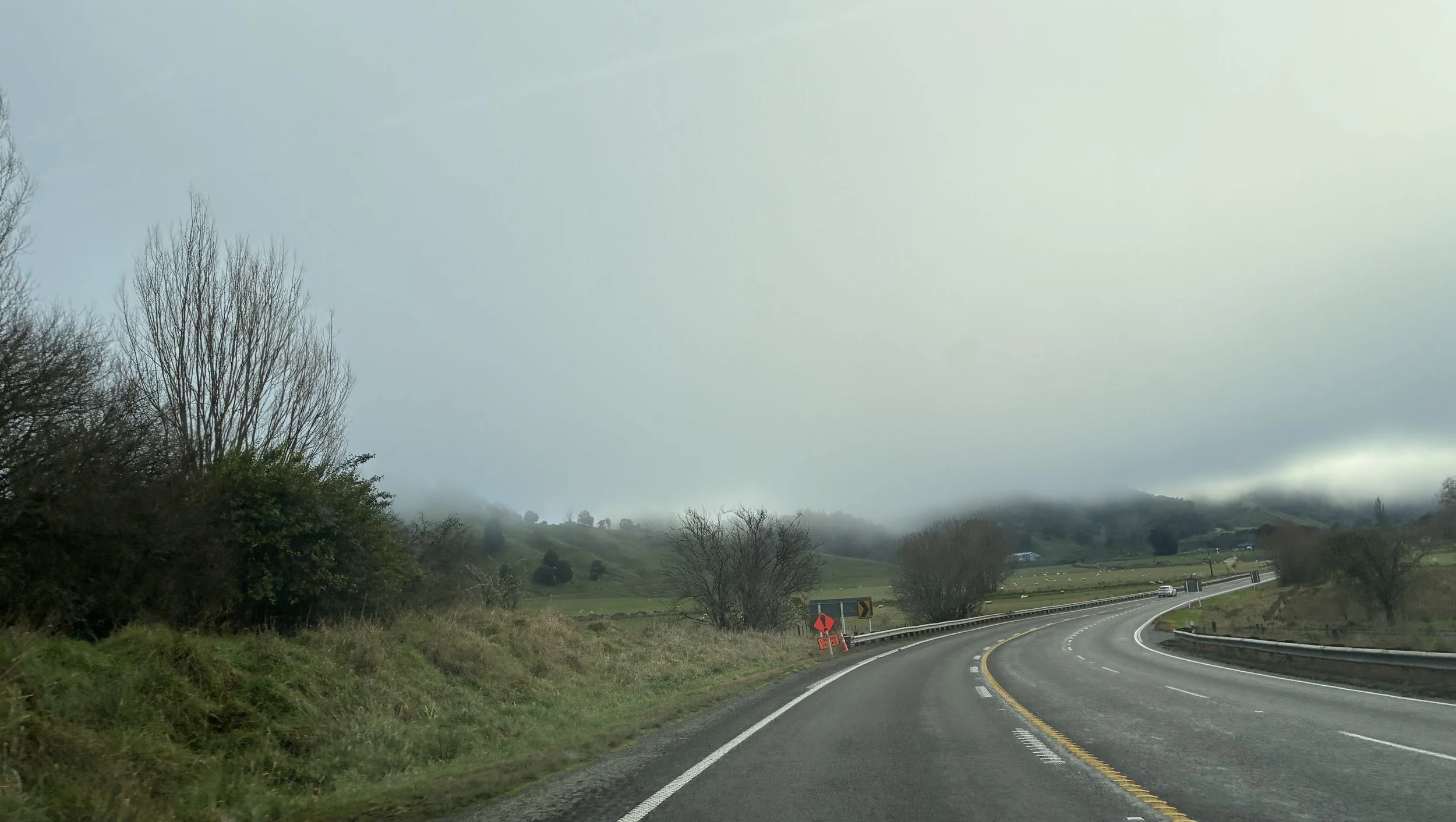
Stratus clouds can have a very low base, obscuring the tops of hills or even trees. They are very smooth and featureless.
About
Stratus is the lowest-lying cloud type, and can be patchy or widespread. It is often grey or greyish white and is the cause of a gloomy weather day. If the cloud base lowers to the ground, then it is known as mist or fog. It often has little rainfall but can create drizzle if it’s thick enough. There are some remarkable weather phenomena associated with stratus, such as glories or fog bows.
How does it form?
There are three main ways stratus can form. Firstly, if a relatively warm and moist airmass moves over a cooler surface, it will cool from below. If the surface is cool enough then it will condense the water vapour into microscopic water droplets and form stratus clouds. Another way is when water vapour is forced to move upwards (e.g. meeting a mountain). As it ascends, the air cools and condenses the water vapour into cloud. This is often seen along the western facing slopes of the Southern Alps. Thirdly, fog that formed overnight will gradually warm with the sun, making it less dense and causing it to rise, and this can lift the base of fog from the surface into low-lying stratus.
How to spot it?
Stratus is a layer cloud. So, look out for low-lying greyish cloud. If it is large enough it can block sunlight and make the day feel ‘dull’.