A more powerful way to view Aotearoa’s skies
Our cloud cover page, remains one of the most popular features on metservice.com, and now it's even more powerful.
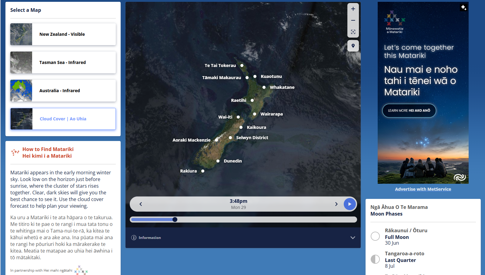
We’ve launched a new combined player that brings together tiled infrared satellite imagery and modelled cloud cover, creating a far more interactive experience and giving people a clearer view of recent conditions and what’s coming next.
Cloud cover has also been one of the most‑viewed elements of our Matariki content in recent years, so Matariki 2026 is the perfect moment to bring this enhanced interactive map into the experience.
Through our partnership with Te Māngai Pāho, the Crown entity responsible for promoting Māori language and culture, we’re able to offer both our conditions content and Matariki information in te reo Māori and English, all within the cloud cover page which you can view here: https://lnkd.in/eCrMhMqa