
Cumulonimbus
Latin Translation
Cumulus = “heap” or “pile”
Nimbus = “rain bearing”
Height
The cloud base is usually found below 6,500ft (~ 2000 metres) and can reach higher than 35,000ft (~ 10,700 metres), but occasionally more than 50,000ft (~ 15,200 metres), as high as a commercial plane flies!
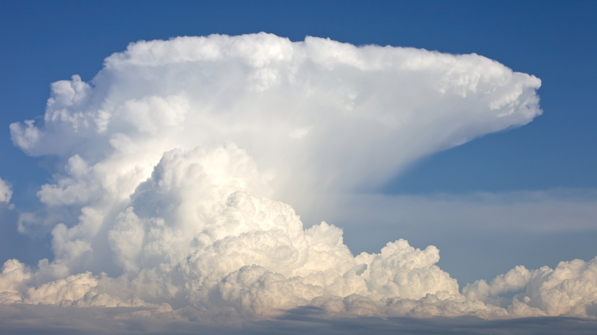
Cumulonimbus clouds tend to be shaped like anvils, with a flatter base, comparatively narrow body, and a wide, flat top.
About
Cumulonimbus clouds are our cloud giants on earth. They are the tallest and most hazardous in the cloud family. They are towering, dense columns of moisture, that are often associated with thunderstorms, heavy rain, hail, lightning, squalls, and sometimes tornadoes.
How do they form?
A trigger in the atmosphere (such as a front or a region of low pressure) allows air to rise. As it rises, it cools and the water vapour held in the rising air condenses into microscopic water droplets, and a cumulus cloud is formed. But it doesn’t always stop there. If the air has enough energy, it continues to rise further, and our cloud grows taller and taller. Eventually, the surrounding air is so cold (below freezing) that the water droplets carried upwards form into ice crystals, graupel, and hail. This icy mixture in the upper part of the cloud is called the anvil.
How to spot them?
Well, we now know that cumulonimbus clouds are the giants in the sky and formed of both water droplets and ice crystals. Lucky for us, that makes it easier to identify. Look for a towering cloud in the sky which is fluffy and bright white in the lower levels (like candy floss) and has a fibrous, smudgy-looking top which spreads out wide and flat (the icy anvil). If it’s a cloudy day they may be hidden amongst other clouds, but if you hear thunder or see lightning, you know they’re there!