
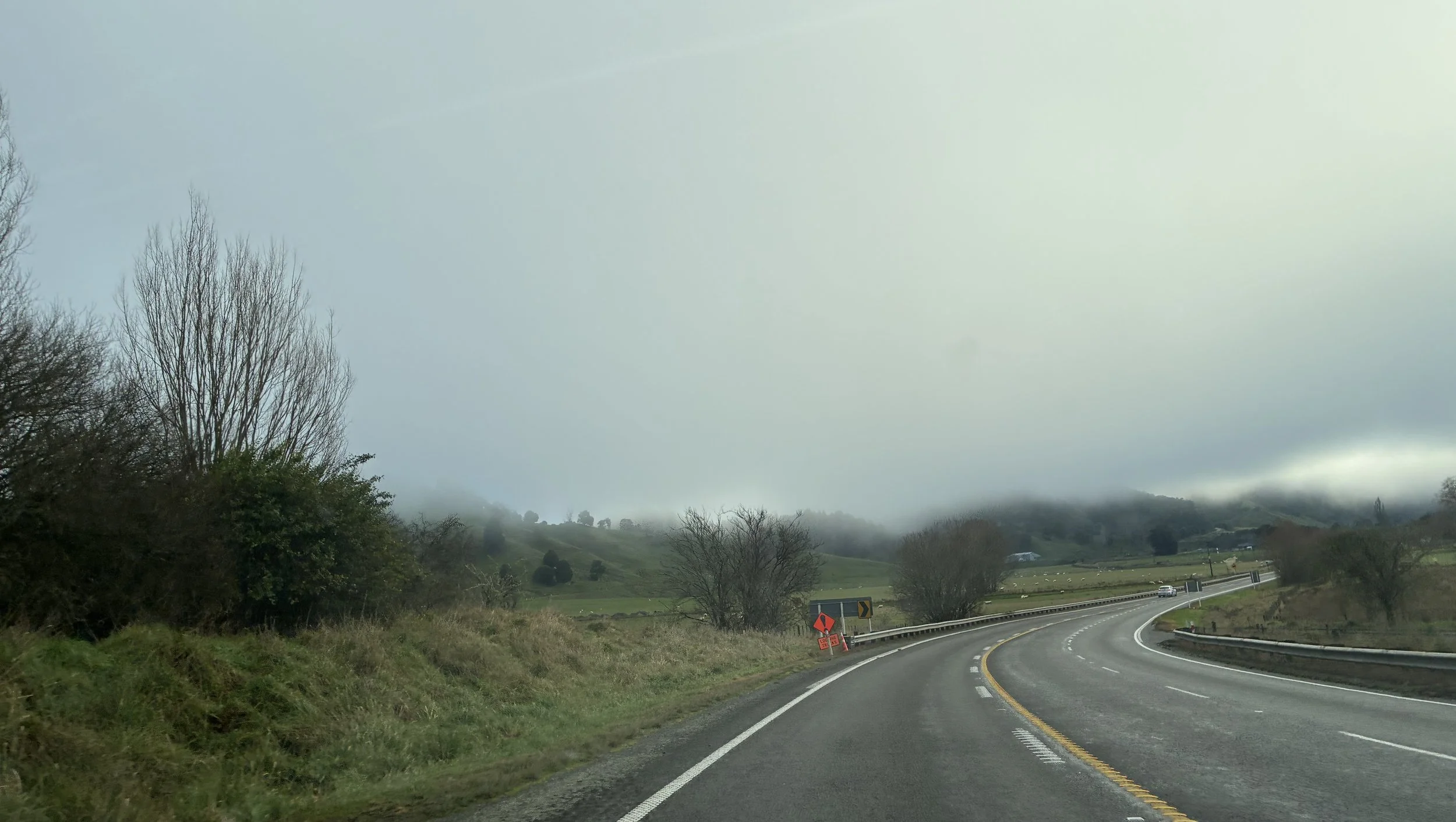
Stratus
Stratus is the lowest-lying cloud type, and can be patchy or widespread. It is often grey or greyish white and is the cause of a gloomy weather day. If the cloud base lowers to the ground, then it is known as mist or fog. It often has little rainfall but can create drizzle if it’s thick enough.
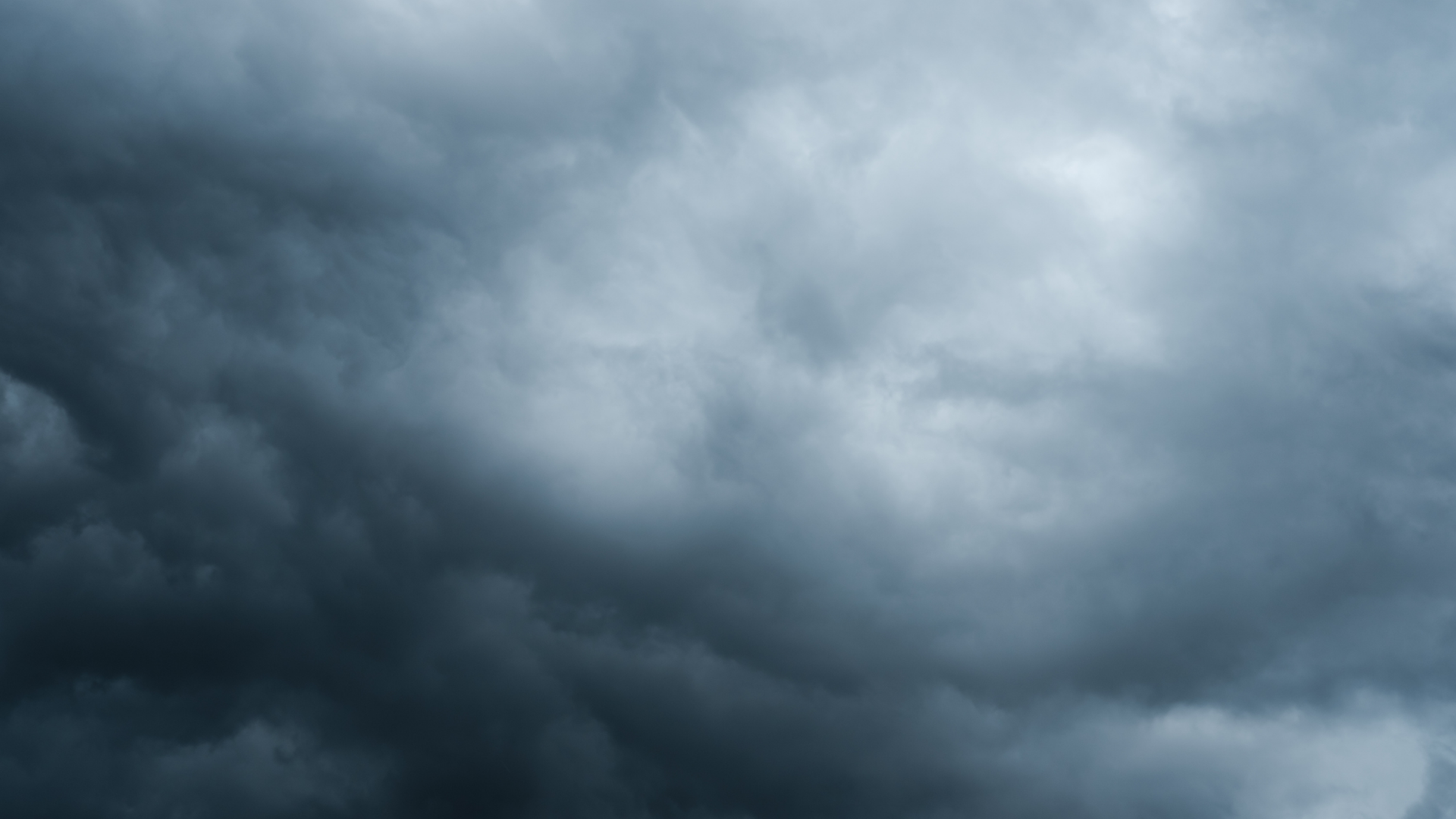
Nimbostratus
Nimbostratus clouds are thick mid-level clouds. They turn the sky dark grey and are associated with persistent rain or snow.
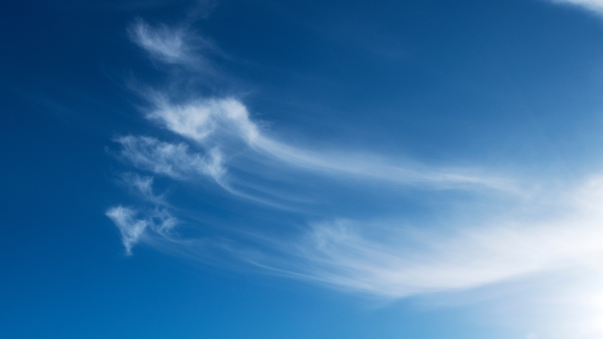
Cirrus
Cirrus cloud is a high-altitude cloud, usually above 5000 metres in Aotearoa New Zealand (higher than Aoraki / Mount Cook). It is one of three in the high-level cloud family group in the troposphere and is so high that is formed entirely of ice crystals, giving it a bright white feathery appearance.
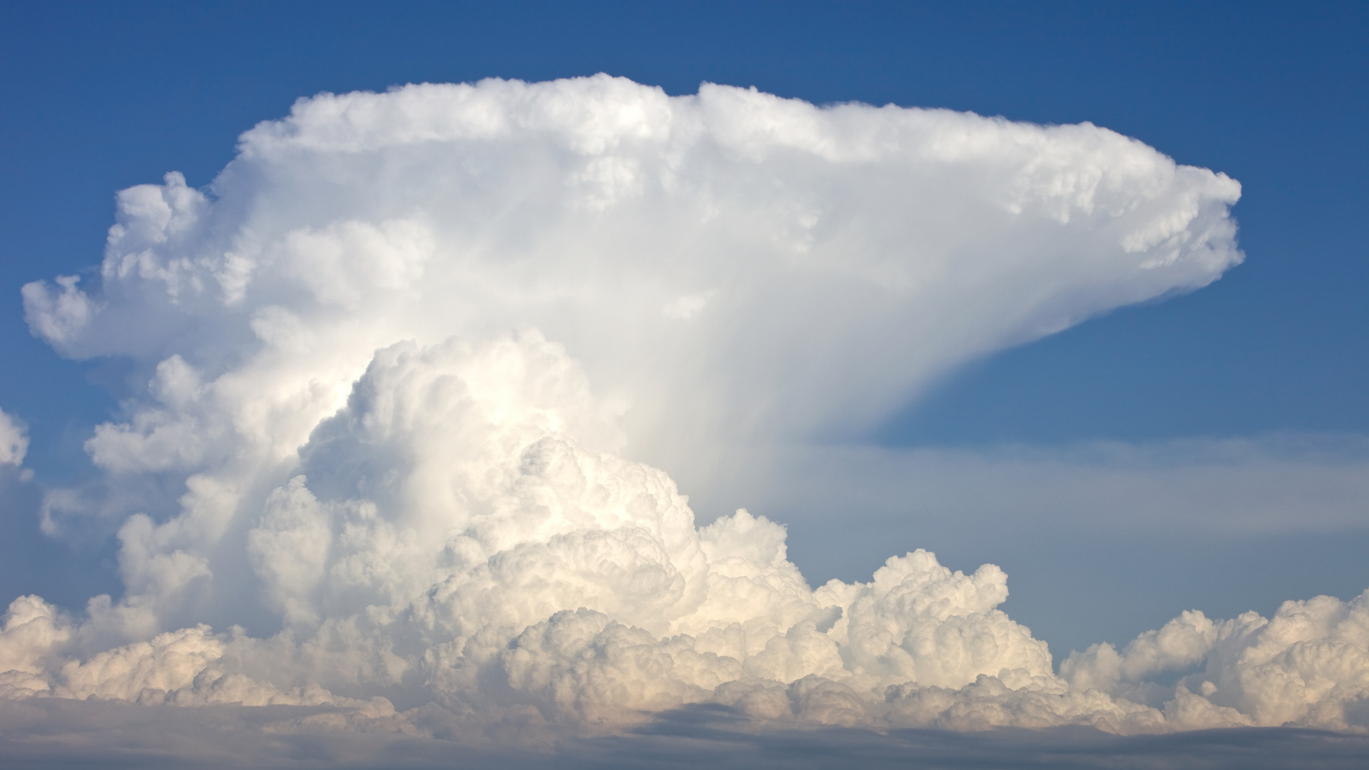
Cumulonimbus
Cumulonimbus clouds are our cloud giants on earth. They are the tallest and most hazardous in the cloud family. They are towering, dense columns of moisture, that are often associated with thunderstorms, heavy rain, hail, lightning, squalls, and sometimes tornadoes.
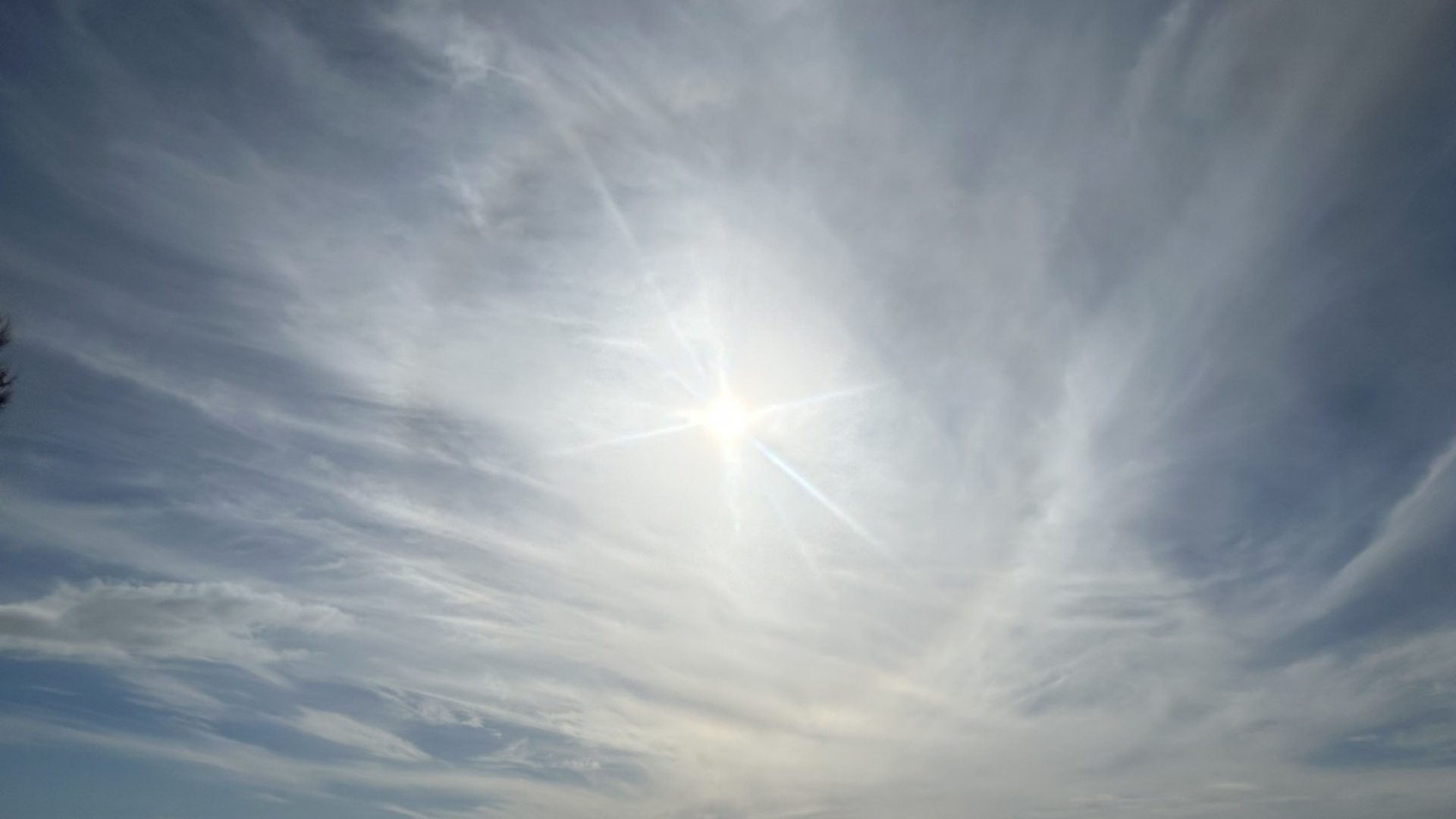
Cirrostratus
Cirrostratus is a high-altitude cloud, and part of the high-level cloud family group in the troposphere. It is thin and transparent and can be smooth or fibrous. Light will refract off cirrostratus and can sometimes create a halo around the sun or moon.
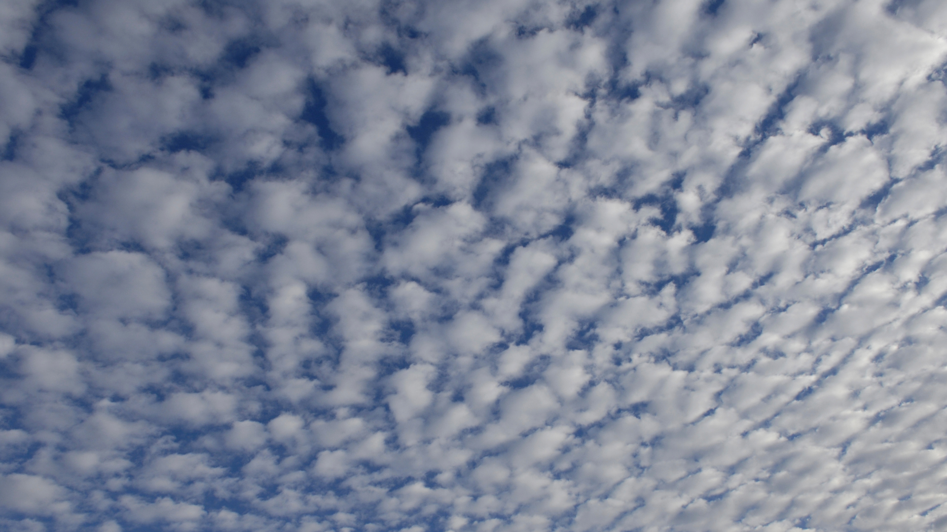
Cirrocumulus
Cirrocumulus is a high-altitude cloud, part of the high-level cloud family group in the troposphere , and is reasonably rare. It is made up of many regularly spaced small white clouds called cloudlets.
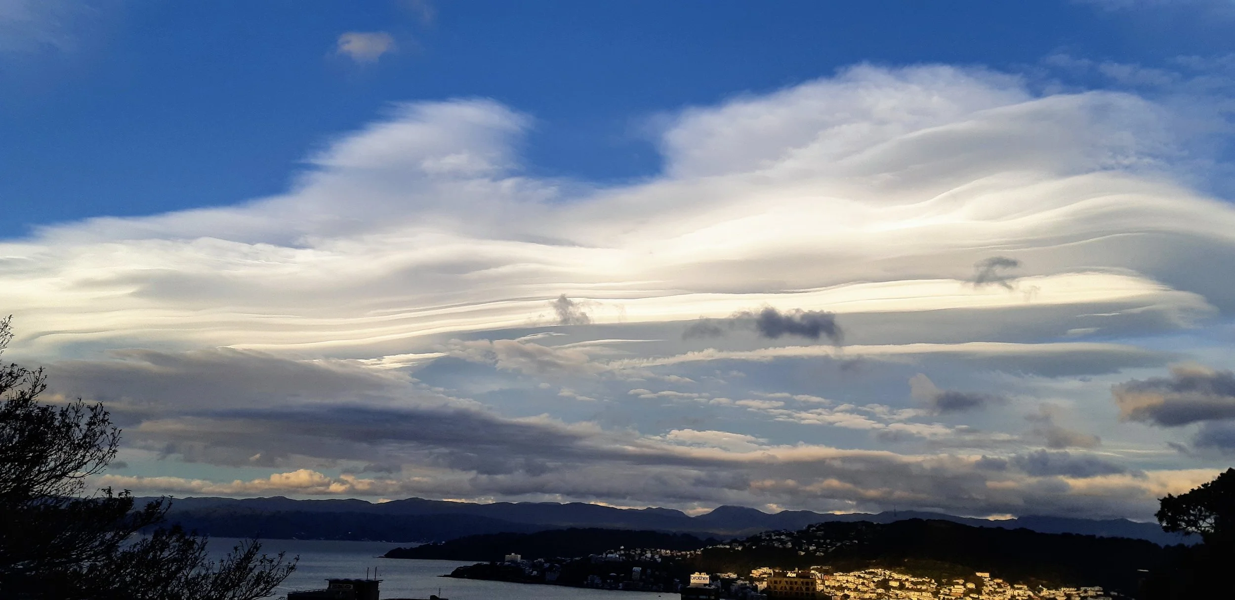
Altocumulus Lenticularis
Altocumulus Lenticularis clouds are stationary mid- to high-level clouds found in mountainous environments. They are smooth, bright clouds that are wide but not very tall. Sometimes they will stack on top of each other and look like a UFO.
