
Strong El Niño: Spring and Summer Surfing Conditions?
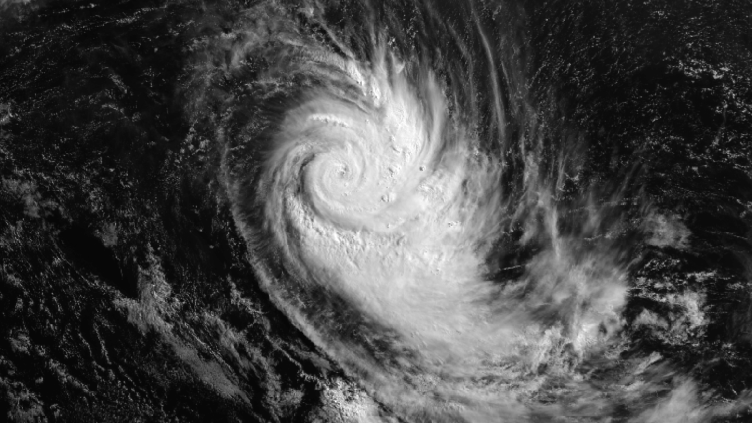
Spring is the time when the temperature difference is greatest between Antarctica and the equator, resulting in the strongest pressure gradient and thus the windiest season. A strong El Niño rides on the back of this, and results in stronger westerly quarter winds prevailing over Aotearoa.
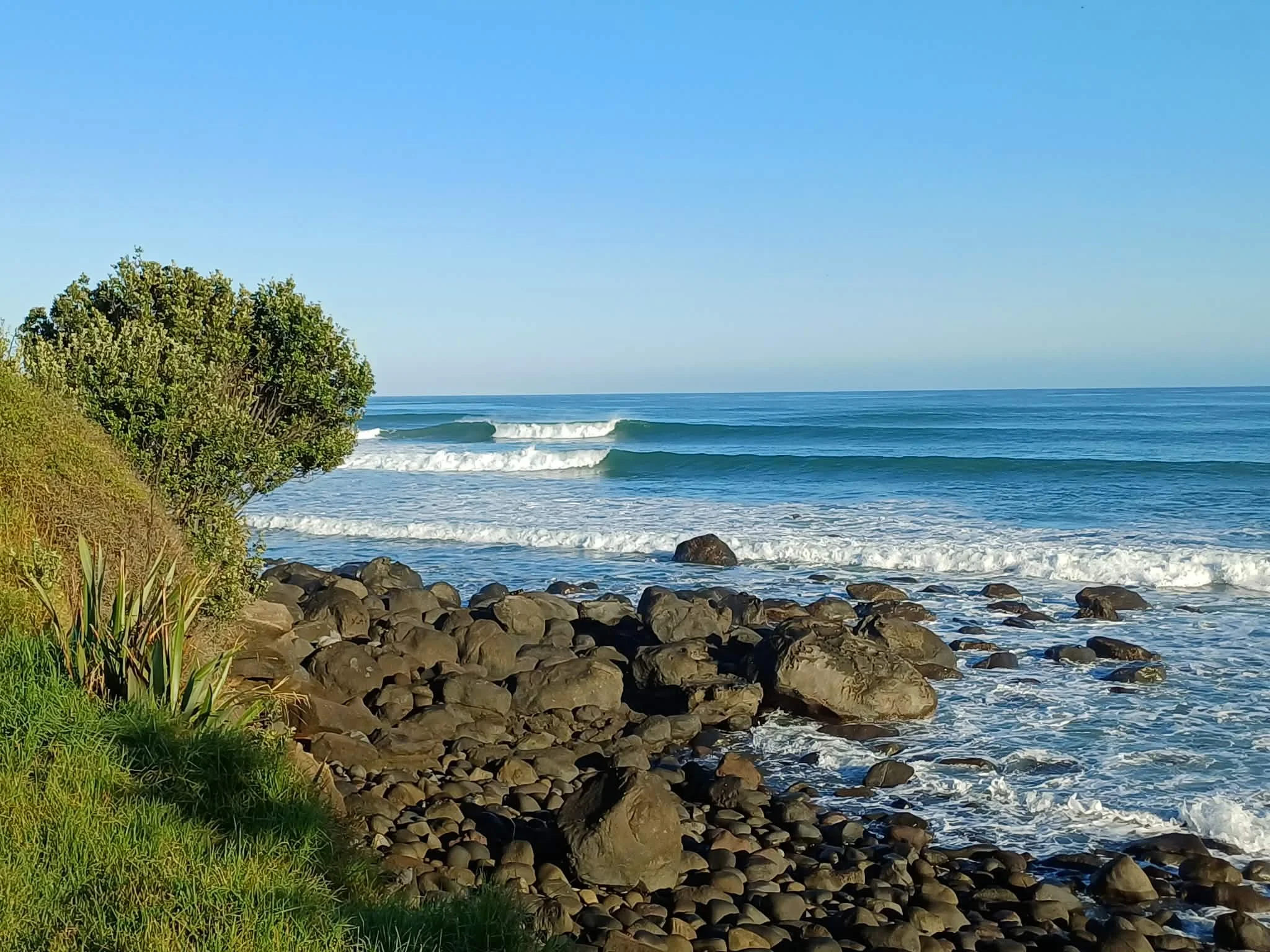
Let’s break this down into the different surf zones of Aotearoa, and how this strong El Niño affects your local surf spots.
Stratus
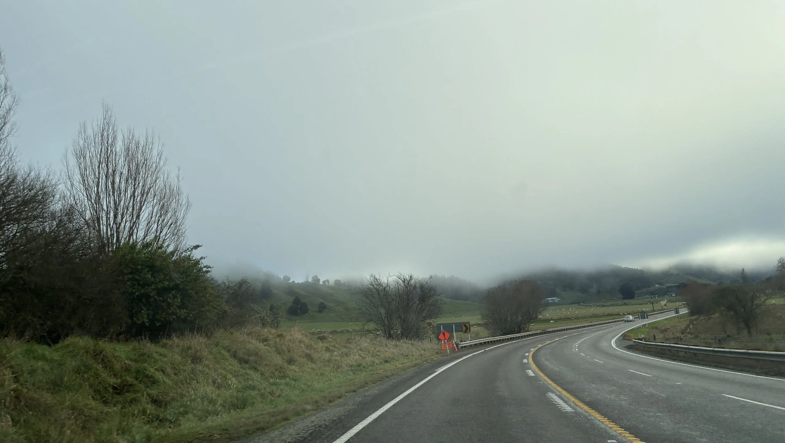
Stratus is the lowest-lying cloud type, and can be patchy or widespread. It is often grey or greyish white and is the cause of a gloomy weather day. If the cloud base lowers to the ground, then it is known as mist or fog. It often has little rainfall but can create drizzle if it’s thick enough.
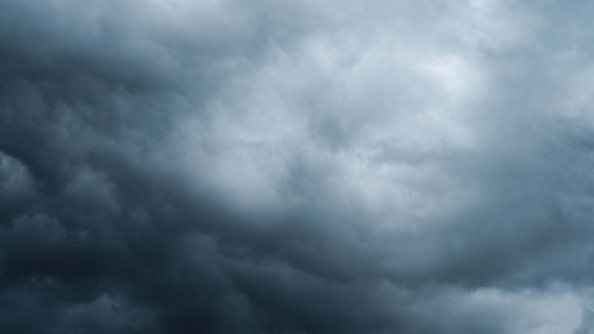
Nimbostratus
Nimbostratus clouds are thick mid-level clouds. They turn the sky dark grey and are associated with persistent rain or snow.
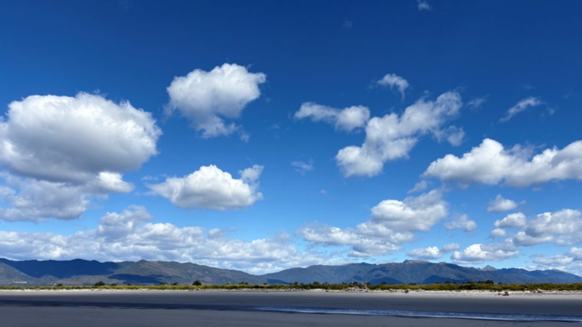
Cumulus Humilis
Also known as ‘fair weather cumulus’, these are the clouds you commonly see on a nice day. They are low altitude clouds, and appear small and fluffy, like sheep! They don’t grow very high into the atmosphere, have relatively flat bases and are generally all quite similar looking.
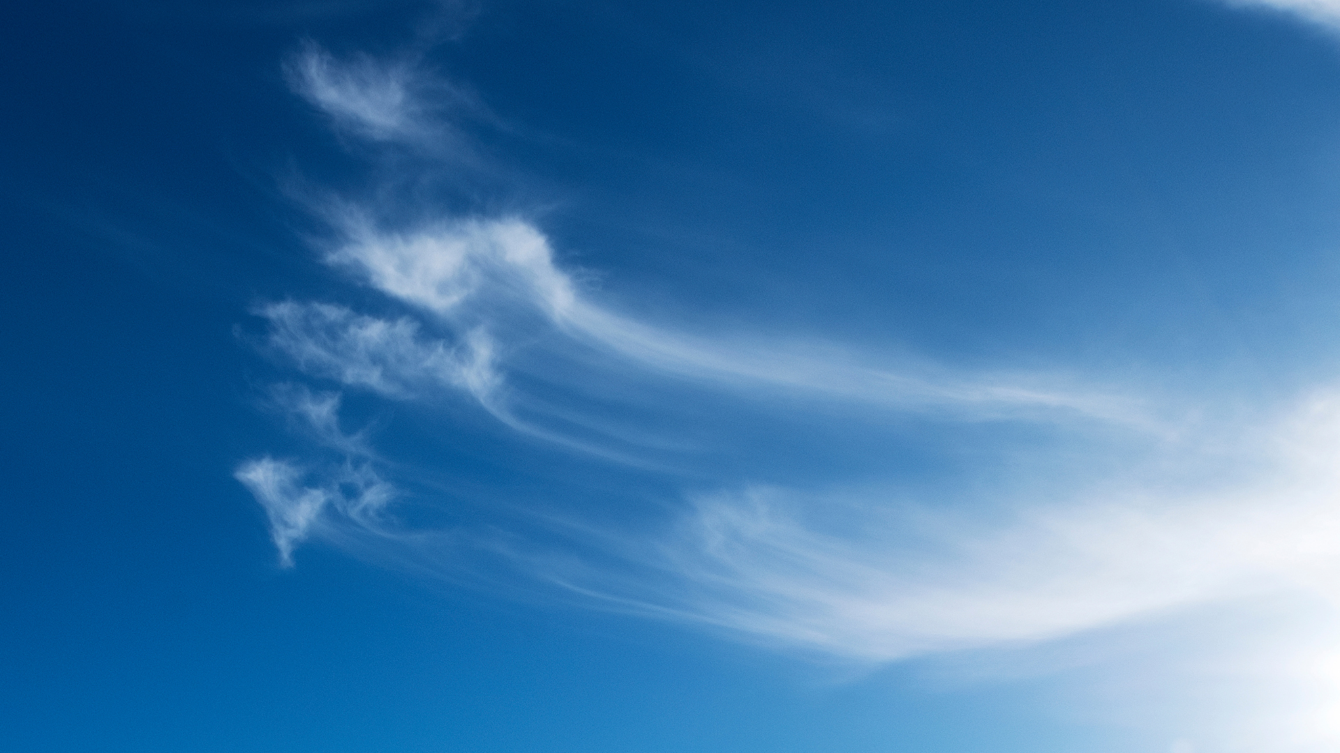
Cirrus
Cirrus cloud is a high-altitude cloud, usually above 5000 metres in Aotearoa New Zealand (higher than Aoraki / Mount Cook). It is one of three in the high-level cloud family group in the troposphere and is so high that is formed entirely of ice crystals, giving it a bright white feathery appearance.
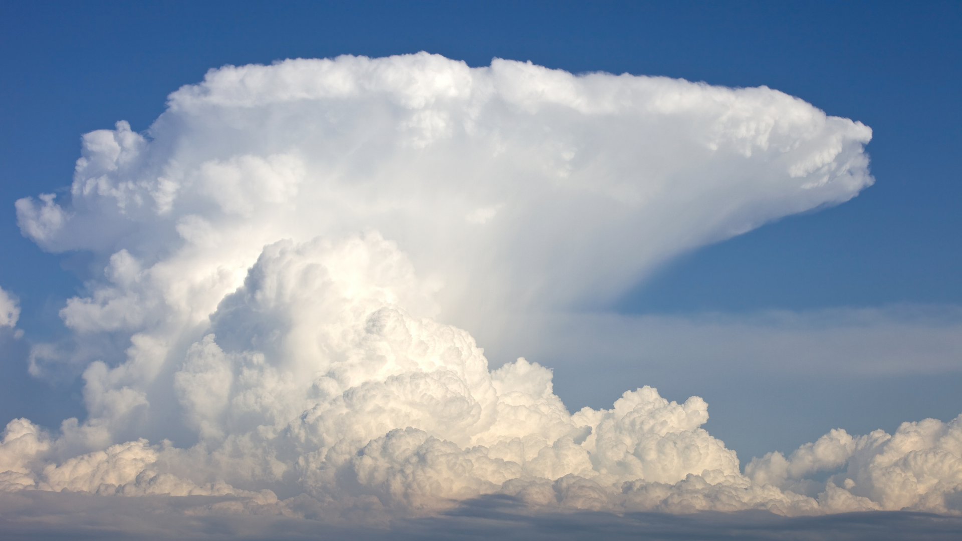
Cumulonimbus
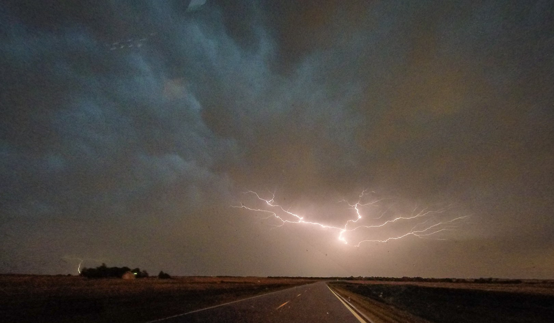
Cumulonimbus clouds are our cloud giants on earth. They are the tallest and most hazardous in the cloud family. They are towering, dense columns of moisture, that are often associated with thunderstorms, heavy rain, hail, lightning, squalls, and sometimes tornadoes.
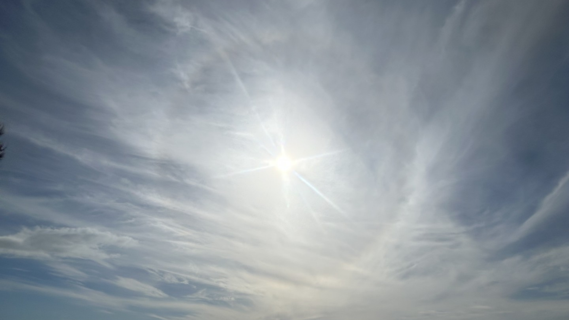
Cirrostratus
Cirrostratus is a high-altitude cloud, and part of the high-level cloud family group in the troposphere. It is thin and transparent and can be smooth or fibrous. Light will refract off cirrostratus and can sometimes create a halo around the sun or moon.
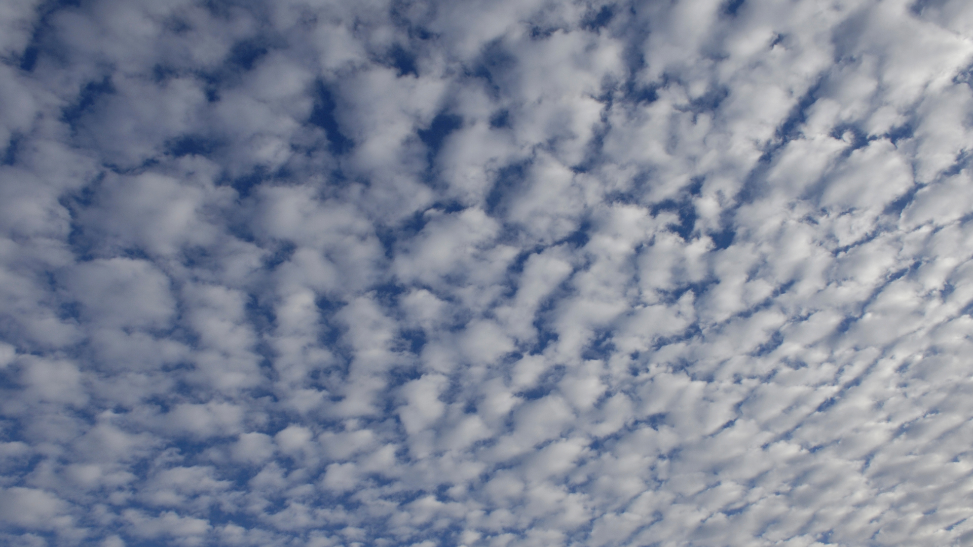
Cirrocumulus
Cirrocumulus is a high-altitude cloud, part of the high-level cloud family group in the troposphere , and is reasonably rare. It is made up of many regularly spaced small white clouds called cloudlets.
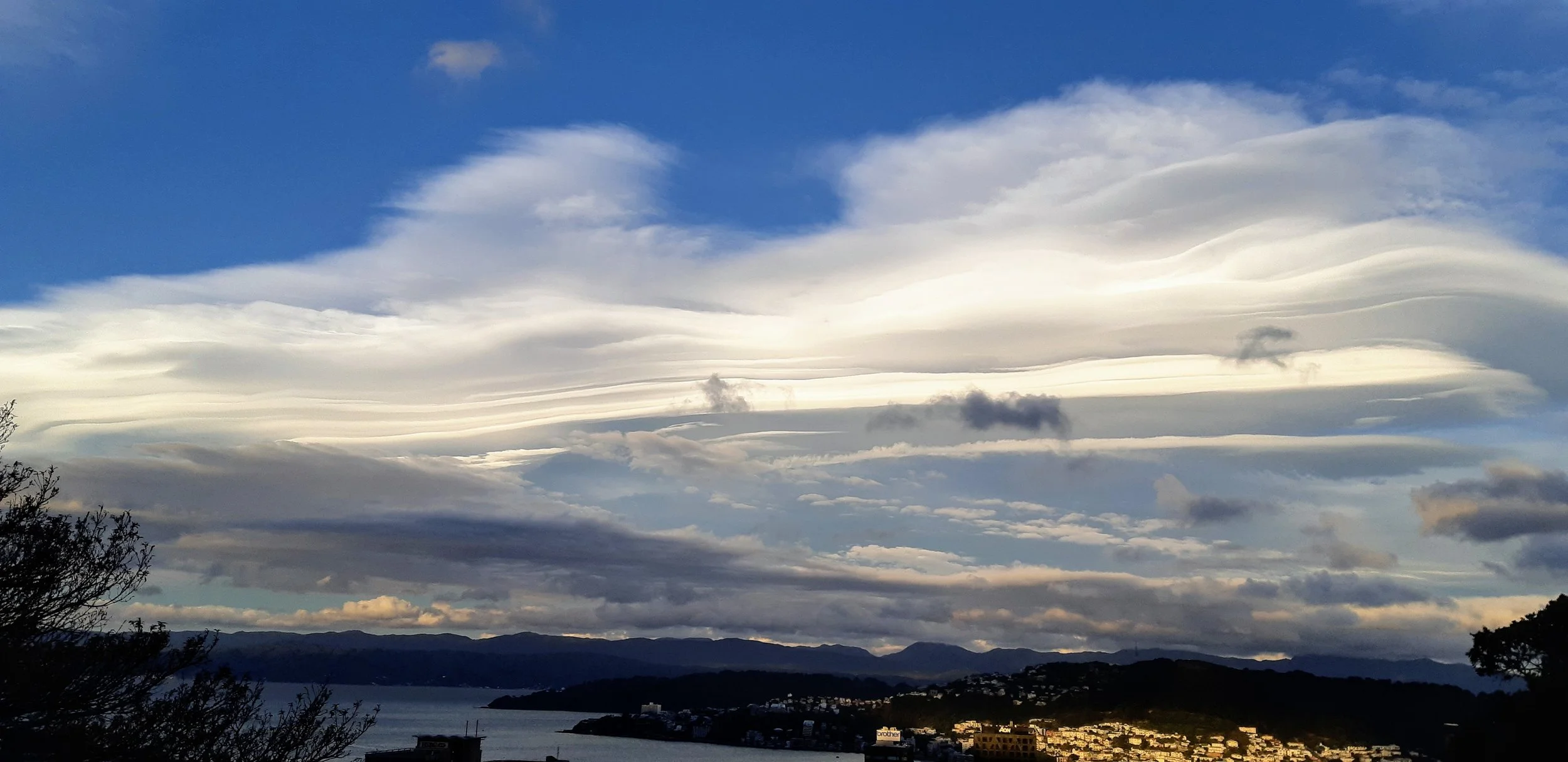
Altocumulus Lenticularis
Altocumulus Lenticularis clouds are stationary mid- to high-level clouds found in mountainous environments. They are smooth, bright clouds that are wide but not very tall. Sometimes they will stack on top of each other and look like a UFO.
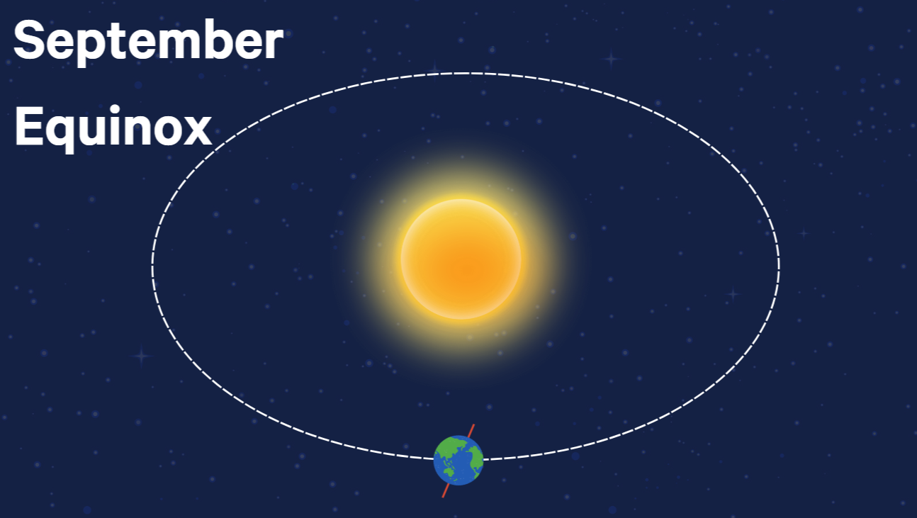
Solstices, Equinoxes, and Equiluxes
As the Earth orbits the Sun, it also rotates, which gives us day and night. But it doesn’t spin vertically, like a ballerina. Instead, Earth is tilted at a bit of an angle (23.44°, for those who like numbers). As it orbits, this tilt means the southern hemisphere (and Aotearoa / New Zealand) is more exposed to the sun during summer, and less exposed during winter. More sun means longer days and warmer temperatures, while less sun means shorter days and colder temperatures.

The Northwest Arch
The Nor’ West Arch is one of Canterbury’s most famous cloud formations! Often associated with Foehn (‘fern’) winds, it’s accompanied by hot, dry and windy weather.

Sea State and Swell - What’s the difference?
If you’ve ever checked a marine forecast, you’ve probably seen the terms sea state and swell. They both describe waves - but they mean different things.

Layers of the Atmosphere
The Earth’s atmosphere is made up of gases, water vapour, and tiny particles like dust, smoke, and sea salt. It stretches high above us and is divided into five main layers, seen below. But for weather, the most important parts are the ones closest to Earth’s surface: the troposphere and the bottom of the stratosphere.

Southern Annular Mode
There are several climate patterns that influence the distribution of weather around the world. The most widely discussed of these is the El Niño-Southern Oscillation (ENSO). However, it is the Southern Annular Mode, or SAM, that has the largest effect on how the climate varies in our part of the world: the Southern Hemisphere and Aotearoa New Zealand.
El Niño and La Niña
ENSO is short for El Niño-Southern Oscillation. It is a climate oscillation, or a long term see-saw in atmospheric and ocean conditions across the Pacific Ocean. There are three phases of ENSO: El Niño, La Niña, and Neutral. Each phase brings a change to the winds, sea surface temperatures, and rainfall across the globe and here in Aotearoa New Zealand.
Mugginess
On some warm days in New Zealand, especially when humid subtropical air moves in from the north, the air can feel heavy, sticky, and hard to cool down in. That’s what we call mugginess.
To understand why it feels that way, we need to talk about two things: relative humidity and dew point temperature.
Sea Breezes
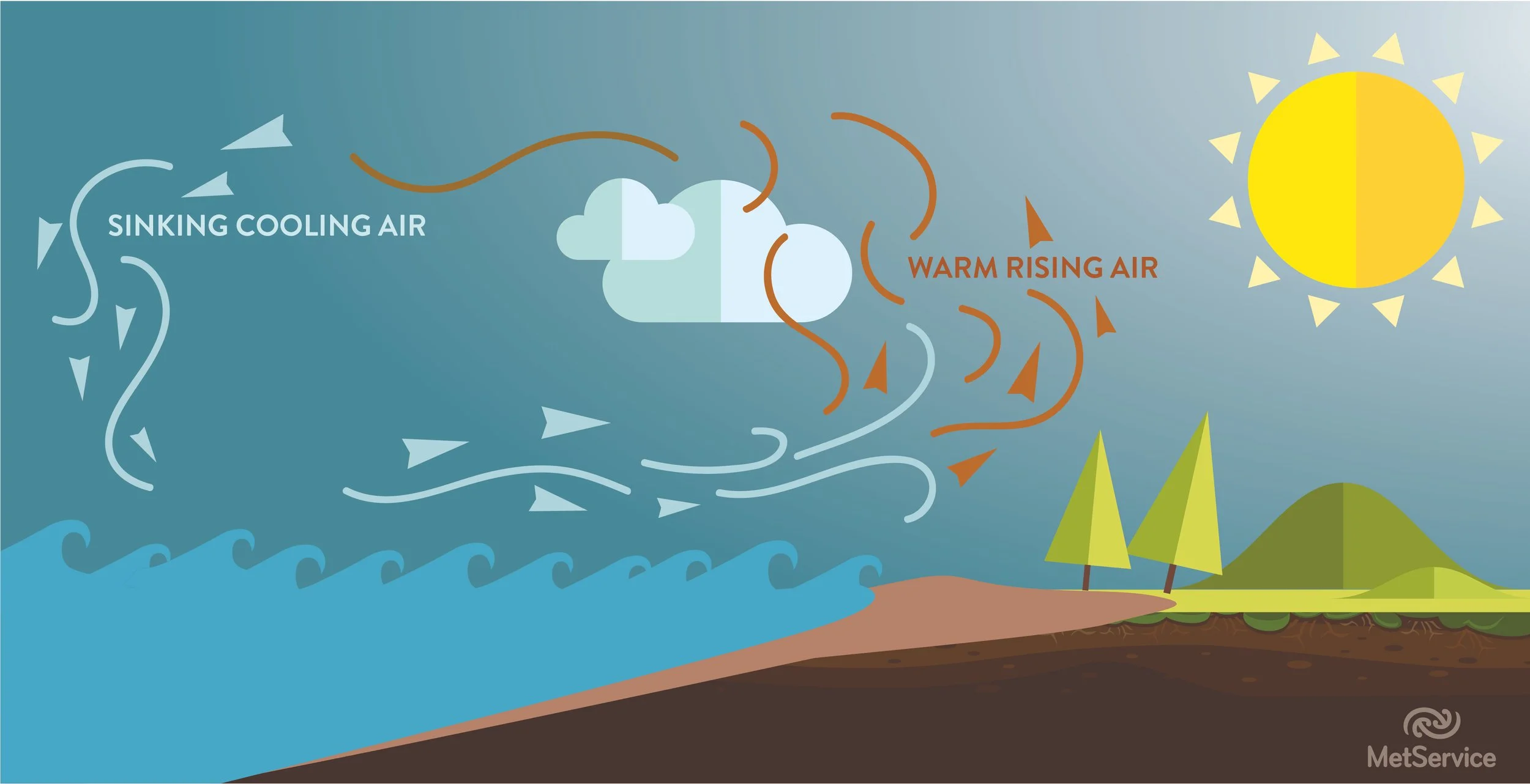
A sea breeze is a cool wind which develops near the coast on an otherwise calm, sunny, warm day. The breeze blows from over the water and on to the land, and usually is strongest in the mid-afternoon.